Draw the course.
Print the meet.
Trace your cross country course on an aerial map and it measures itself to the metre — so you find out it is 4,860 before the coaches do. Then it prints the flyer and the packets, with your course maps already in them.
Free while it is new · Nothing to install · No account
What it does
Three jobs, one file
Measures it properly
Every distance is solved on the WGS84 ellipsoid, not a sphere. The shortcut most tools take is wrong by ten to fifteen metres over a 5K, which is the difference between a legal course and an asterisk on every time run on it.
Colours it by mile
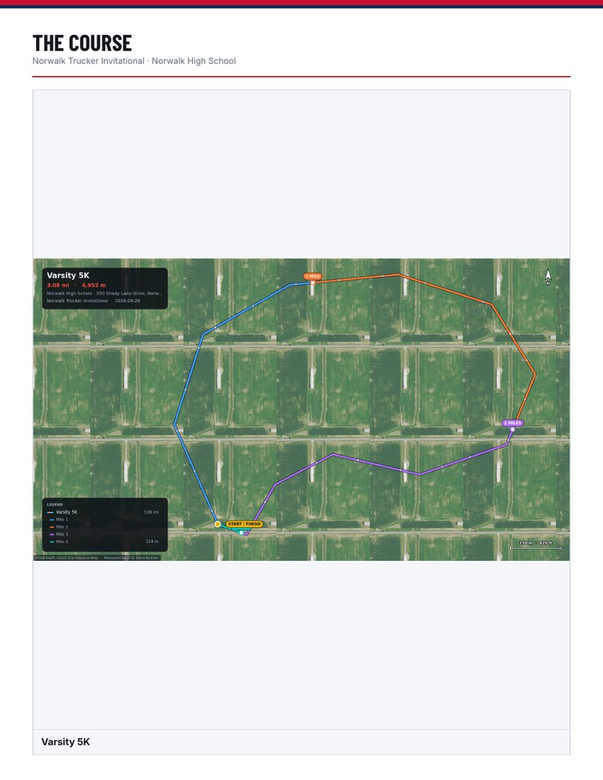
The line changes colour at each measured mile, marks land where they actually fall, and a two-lap course knows that mile two is on lap two. Pick a palette or set each mile yourself.
Prints the paper
Enter the address, the races and the fees once. Out comes a flyer, a coaches packet and a parents and athletes packet — each carrying only what that reader needs, with the course maps on their own pages.
Samples
Real files, not screenshots
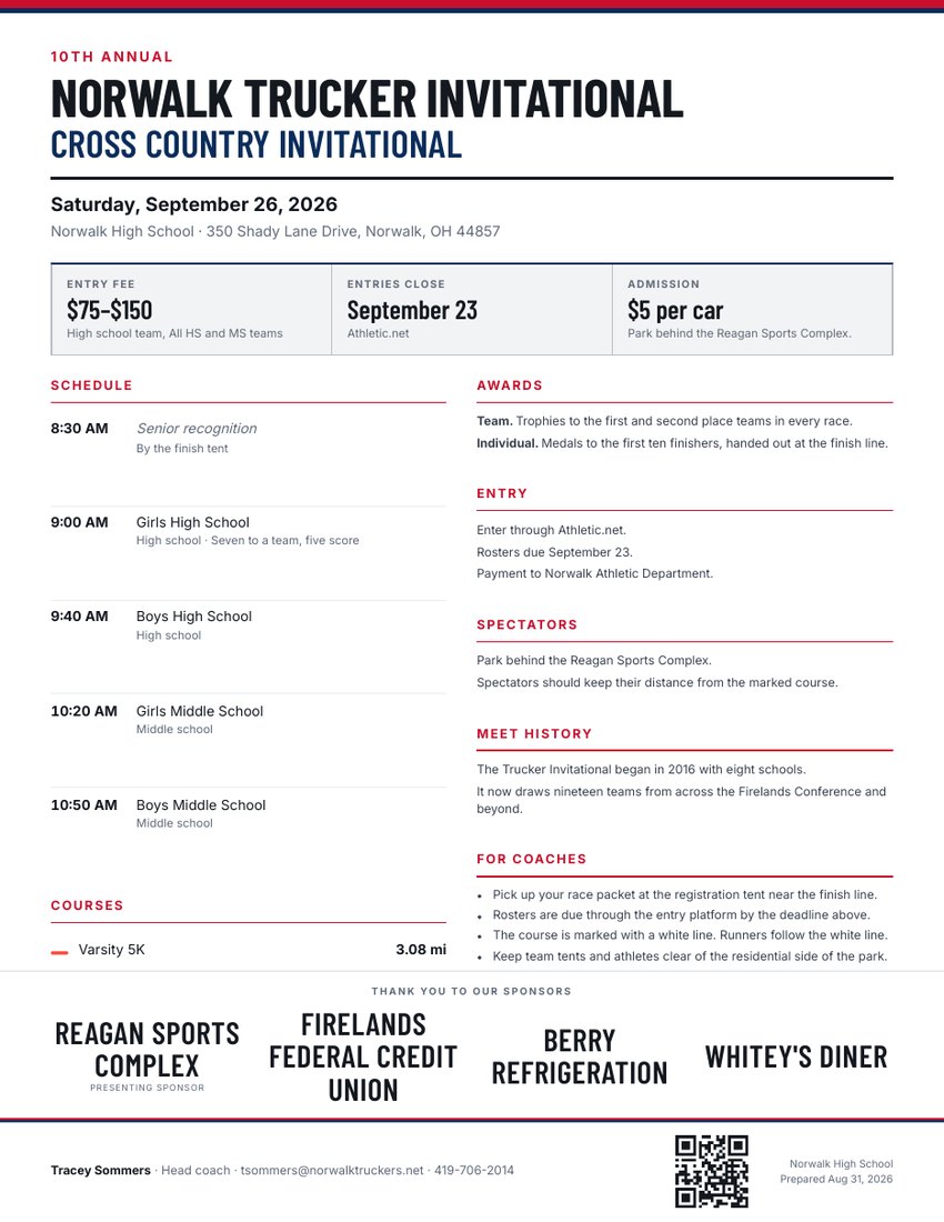
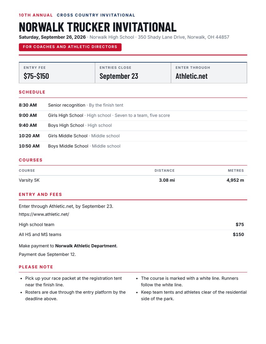
These three came out of the app for a meet at Norwalk High School. Open them, print them, hold them up to whatever you sent out last year.
How it works
Twenty minutes, once
- Find your venue by address. The map goes there.
- Click along the route the runners take. The distance updates with every point, so you can land on 5,000 metres exactly.
- Drop markers for tents, parking and the restrooms.
- Type the races, times, fees and the notes you send every year.
- Export the map, or the whole packet as one zip of PDFs.
Next season it takes five minutes, because the venue, the course, the policies and the sponsors are all still in the file.
The honest part
Where this is up to
It is new, it is free, and it is not finished. It works — a real meet is being run off it this autumn — but you are early, and you will find things I have not. There is no account to make and nothing to cancel; your meet plan is a file that stays on your own machine.
Aerial imagery is United States only, from the USGS National Map, and gets blurry past about 1:9,000. Address search finds street addresses, not park names. Both have better options behind them that switch on later.